
The road is integrated to the pedestrian trail
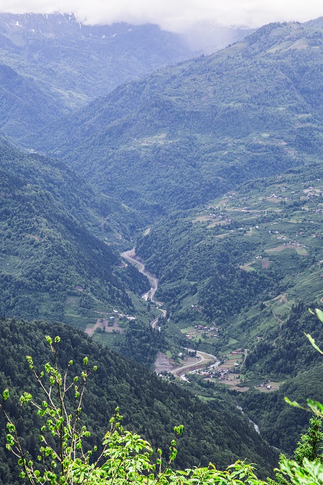
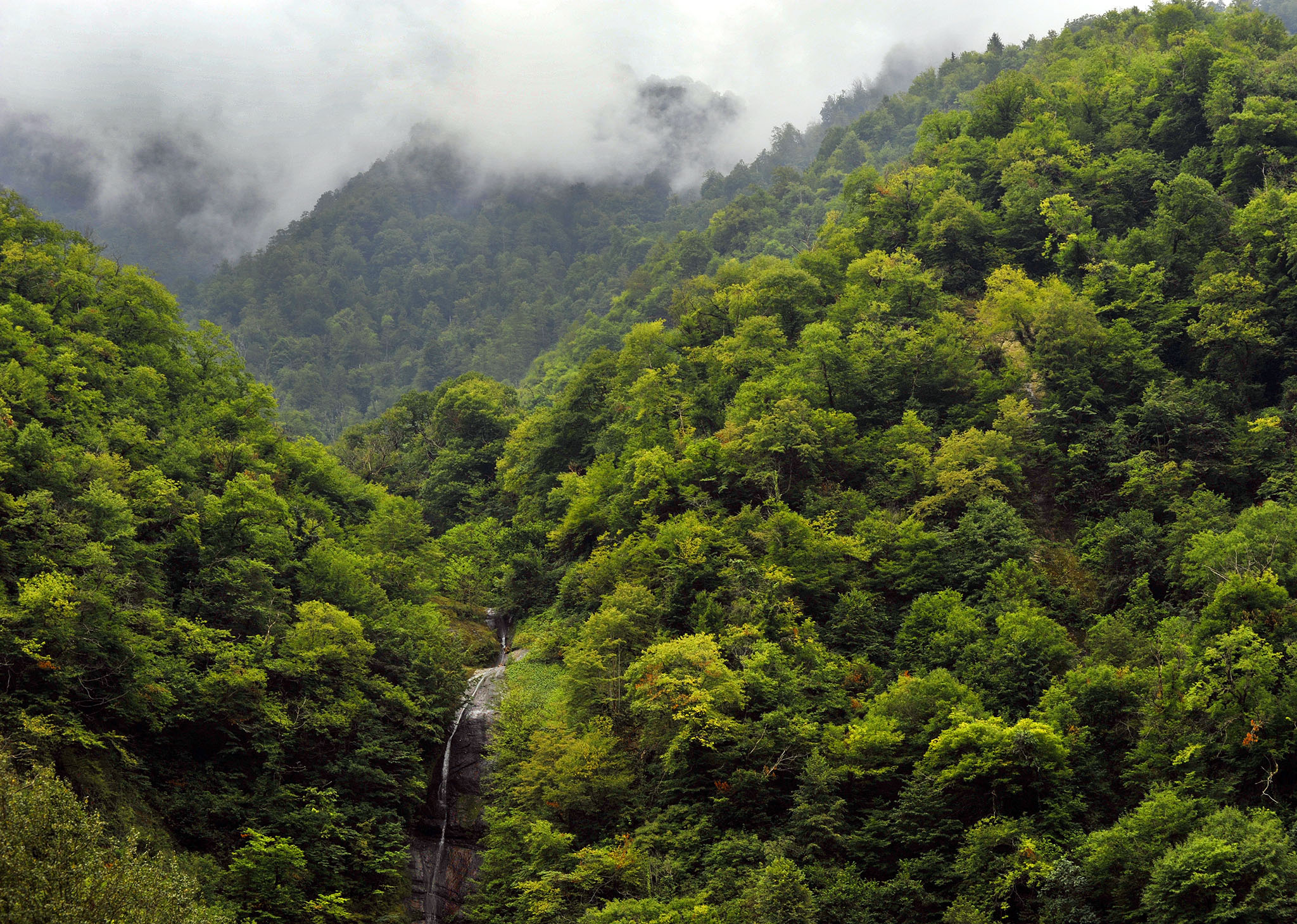
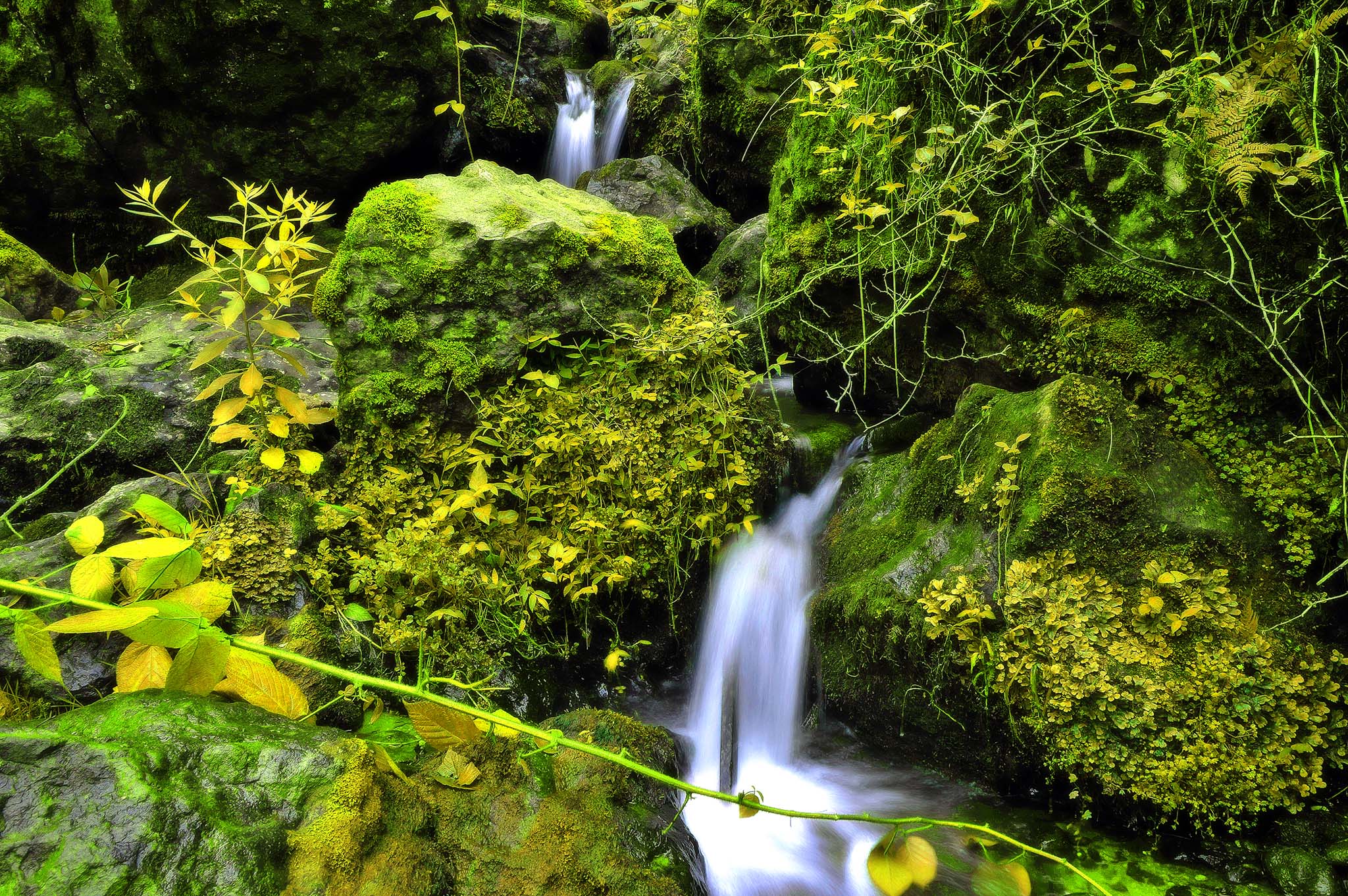
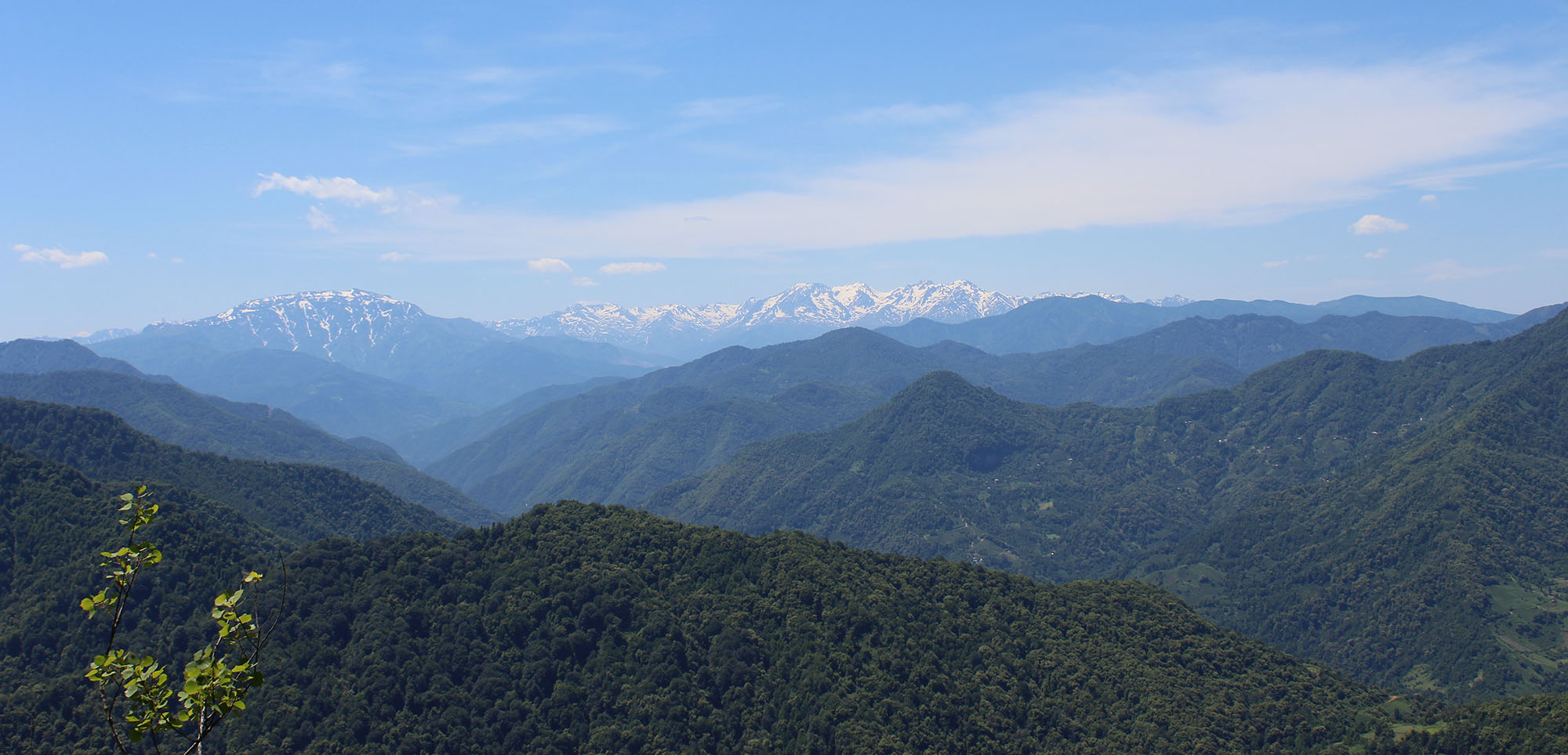
The route starts from visitors’ centre, goes through village kveda Kokoleti and then in Colchic forest, which is covered by mixed forest. The road goes to the platform, where Jamil Biosphere Reserve and as well as 6 villages of Turkey are possible to be seen. The name Machakhela is connected with the legend, as if the villages were shaping the hand and wrist, that is why firstly it was called Majakheli which means hand and wrist in Georgian language and then the name was changed to Machakhela.
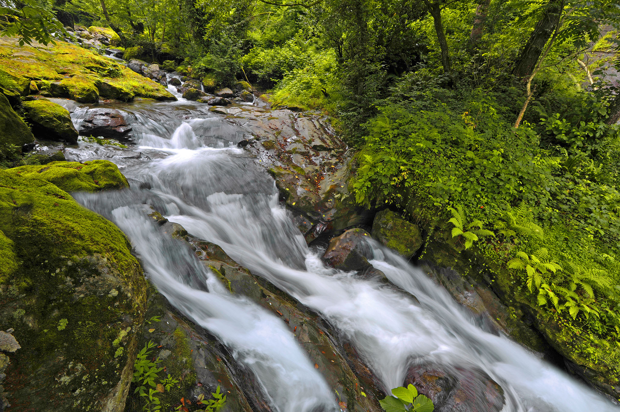
Picnic areas are arranged 1.2 km far from the platform. Camping place is arranged as well, where there is tropical environment, wild nature and cold springs.
The route ends in village Kokoleti.
Note: In order to plan a trip you must inform about your trip Machakhela National Park’s Administration, due to the fact that it is a boarder zone.
For more information about the trail please contact to the following number: 595 08 60 75
Attraction Passes
You are able to practice payable eco-tourist services at the National Parks of Georgia.
read more