


According to ancient local traditions, pigs are taboo for local people and for this reason, food made from pork is forbidden in Tusheti. Local people consider it disrespectful for visitors to bring pork to Tusheti.
According to local traditions, women are forbidden from entering local sacred shrines and sanctuaries.
Tusheti is a remote region, and as such there are no amenities such as petrol stations, pharmacies, beauty salons, banks, ATMs or currency exchanges booths.
village Omalo – village Chesho; Distance - 27 KM.
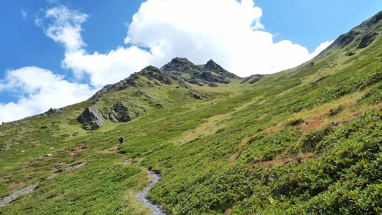
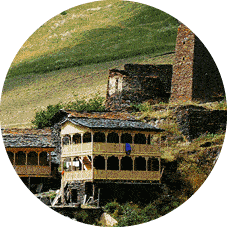
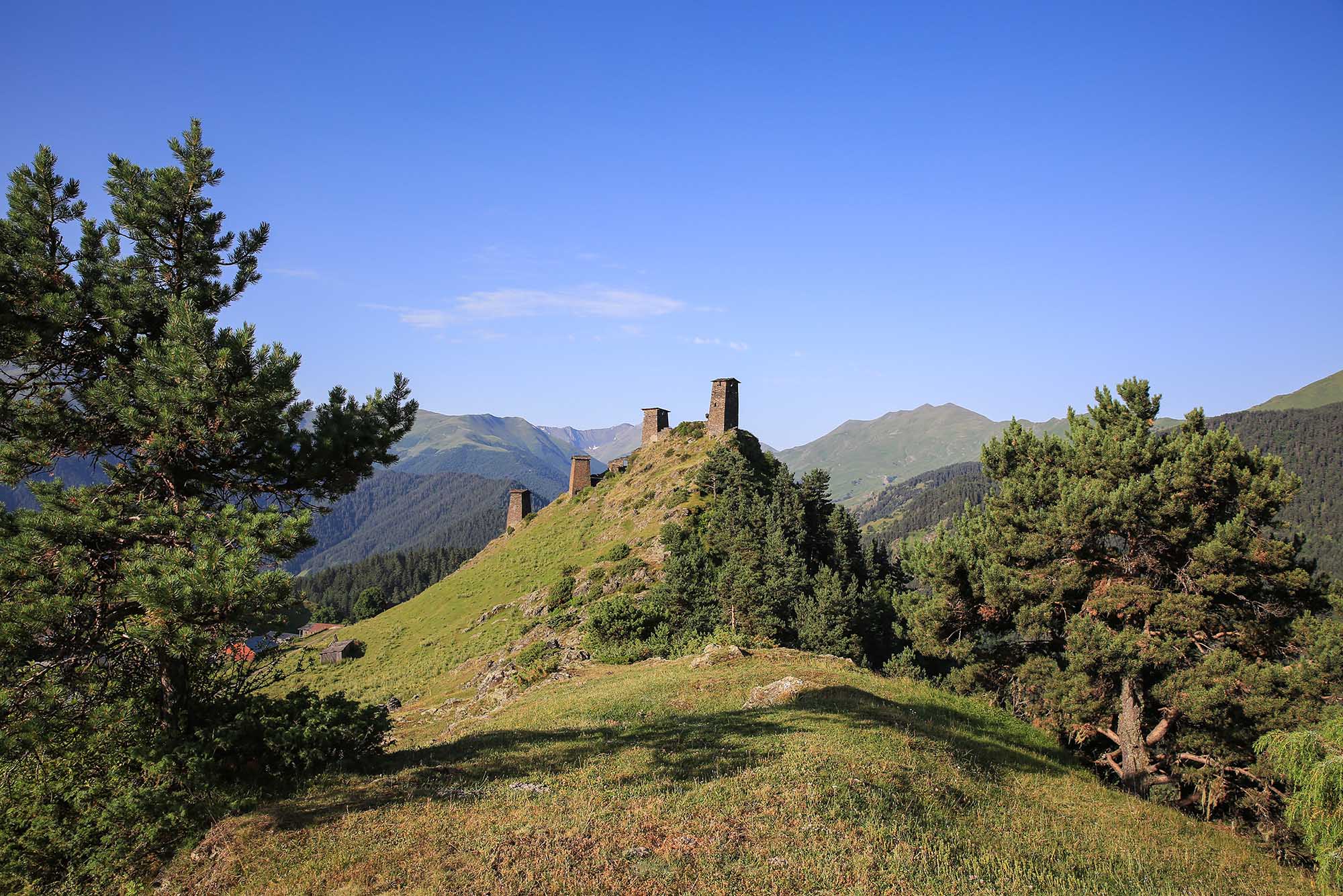
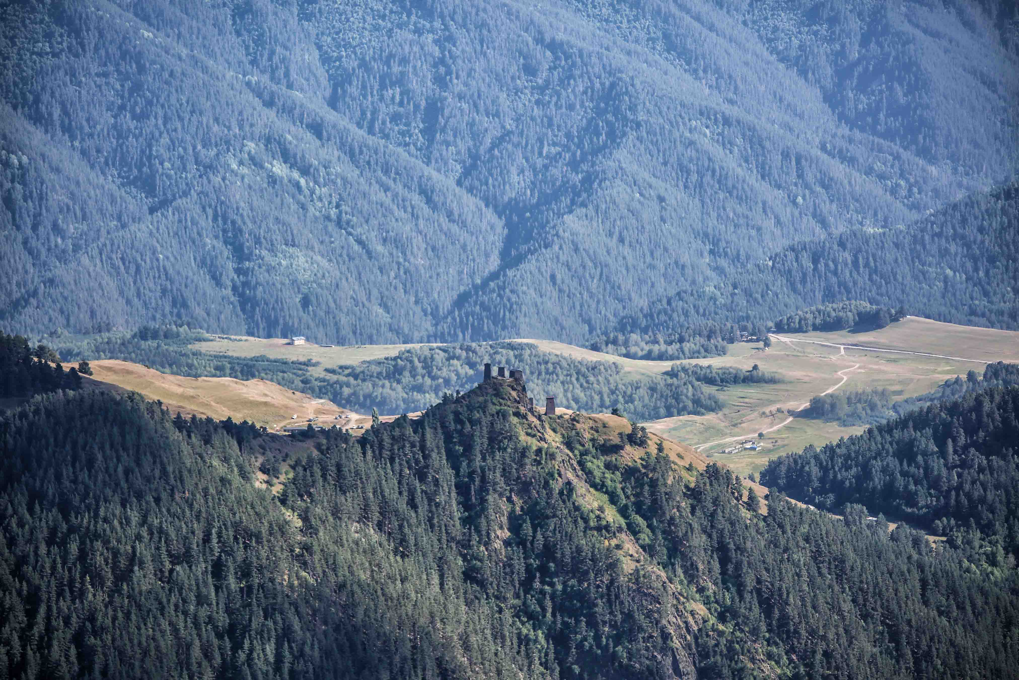
The route starts from lower Omalo, Tusheti Protected Areas Visitor Center. The trail goes up to the Pirikita-Gometseri watershed range pass, which was a gathering place for four communities of Tusheti. The road heads in the direction of Dartlo which attrats the visitors with its unique architecture. The road runs along the left bank of river Alazani. The next village is Chesho. Tower Tetrtsikhe located on the rock overlooks the village from aside. The road gets to the village Parsma located on rocky plateau. There are 3 large ancestral fortress and pyramid-shaped tower remains in the village.
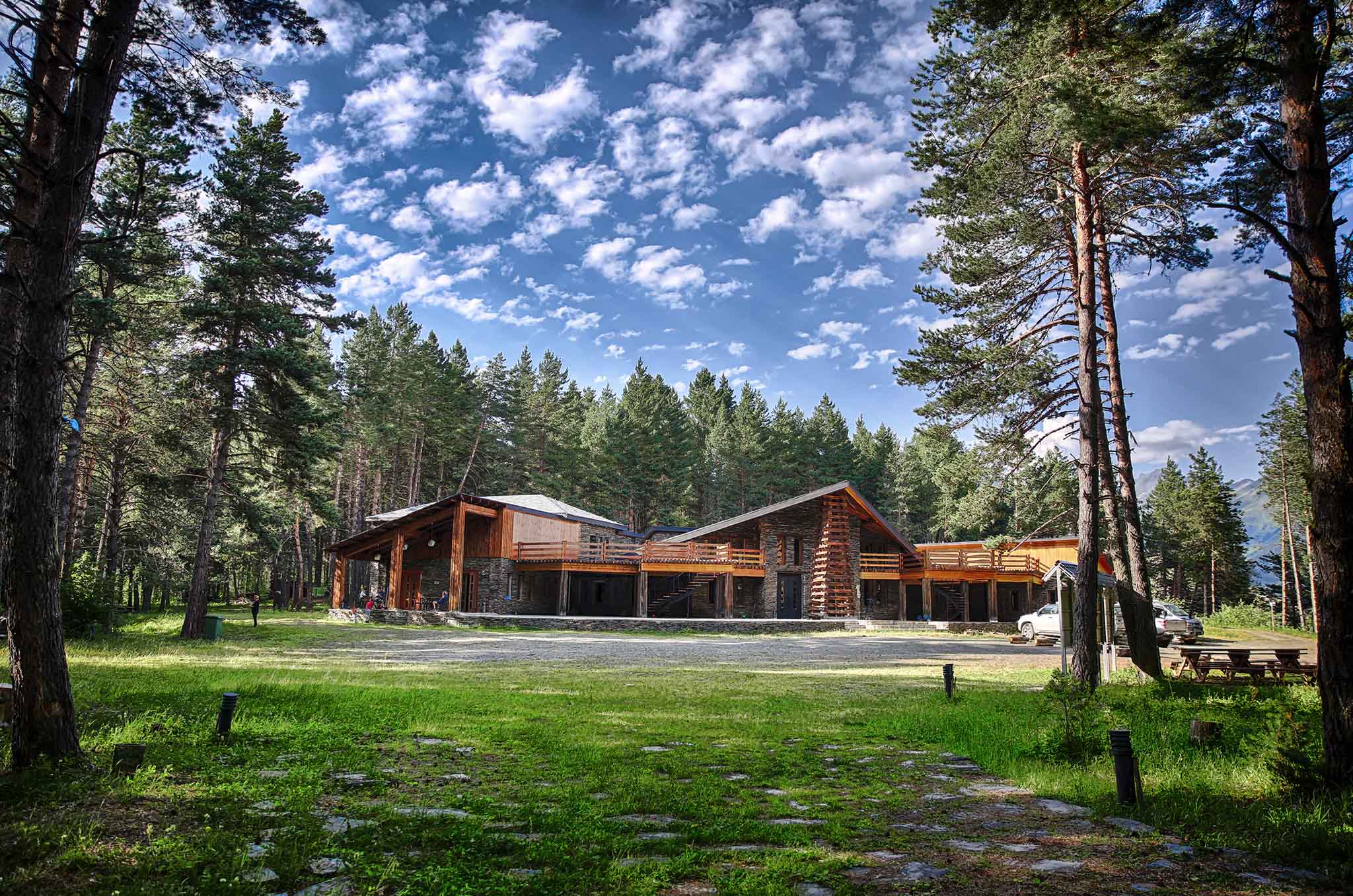
Overnight in guest houses or tents.
Village Chesho - Nakaicho pass - Village Verkhovani / Village Jvarboseli; Distance - 13 KM.
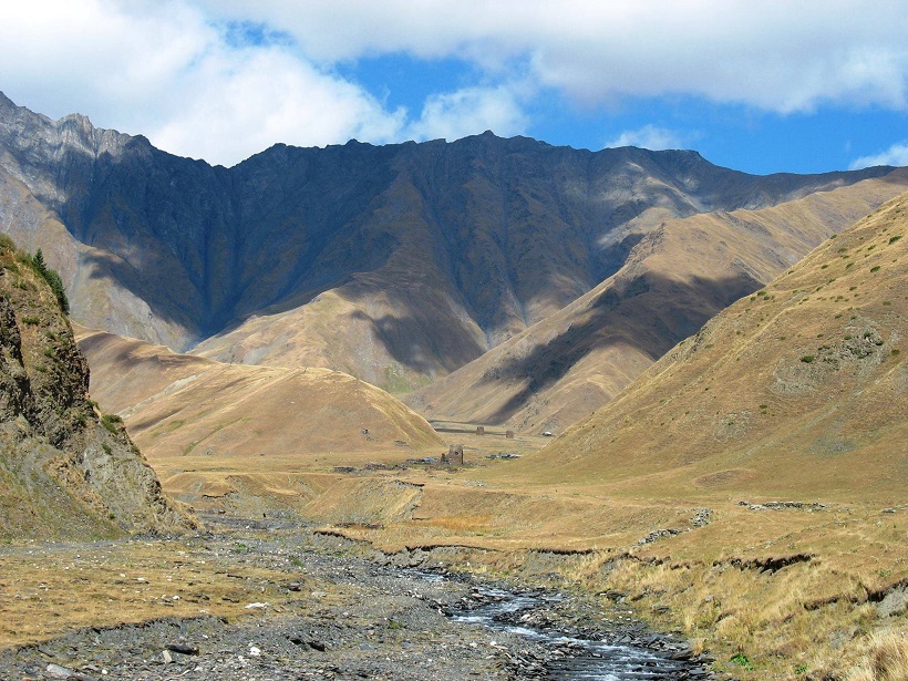
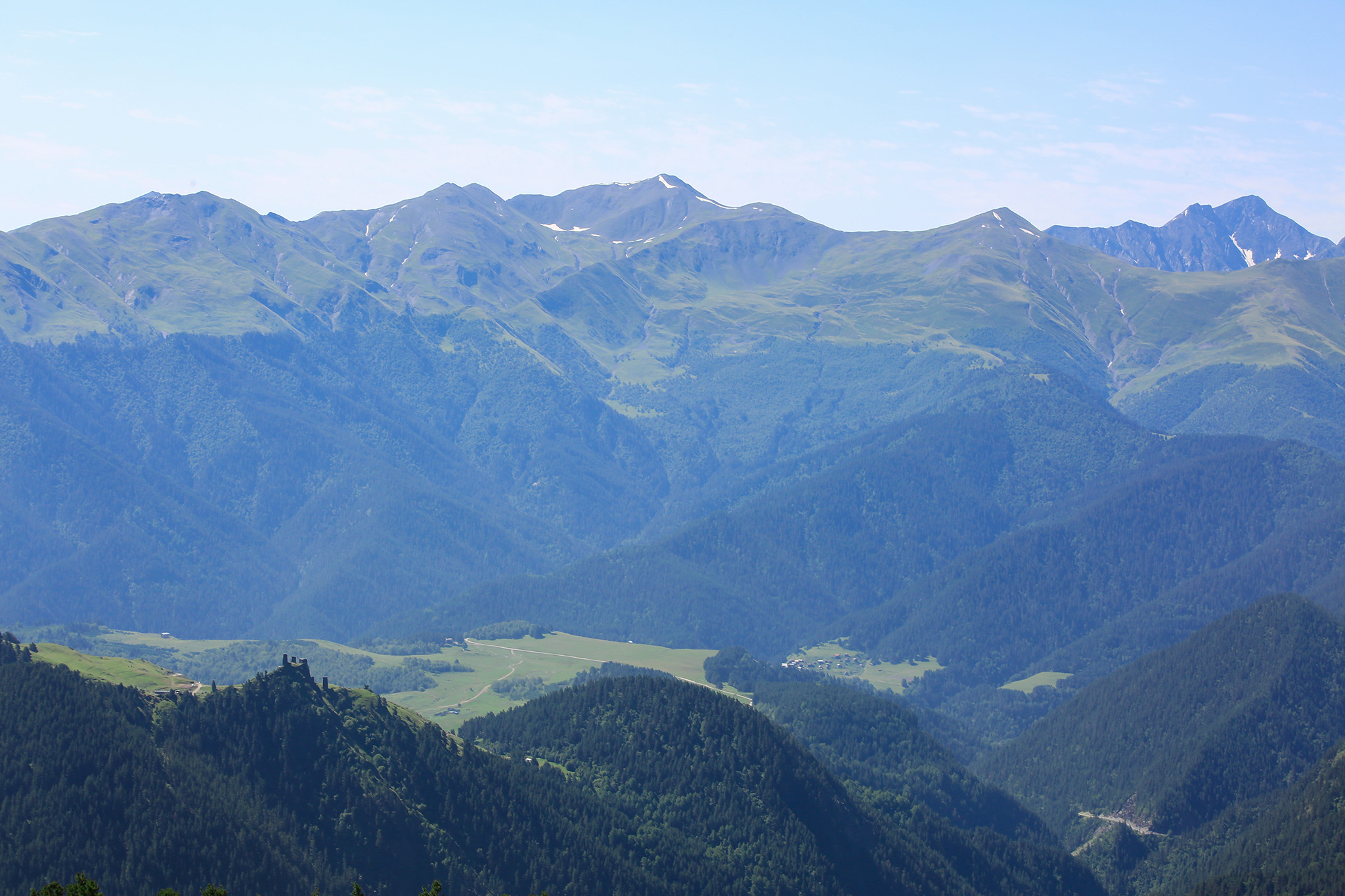
The route goes along Alazani and Nakaicho pass (2,900 m above sea level). The route goes down Dadikurta, which is one of the highest places in Tusheti – 2,350 m above sea level. It is followed by village Verkhovani where the road goes to the left to village Tsovata. First city remains is Tsaro. Burial crypts are visible above the village and Sameba cross higher on the hill. From here the route goes along the right bank of Tsovatistkali till Tsovata field surrounded by high mountains and village remains.
Overnight in village Verkhovani or Alisgora guest houses or tents.
Village Verkhovani/Village Jvarboseli - Tsovata (Village Tsaro) - Village Dochu; Distance - 22 KM.
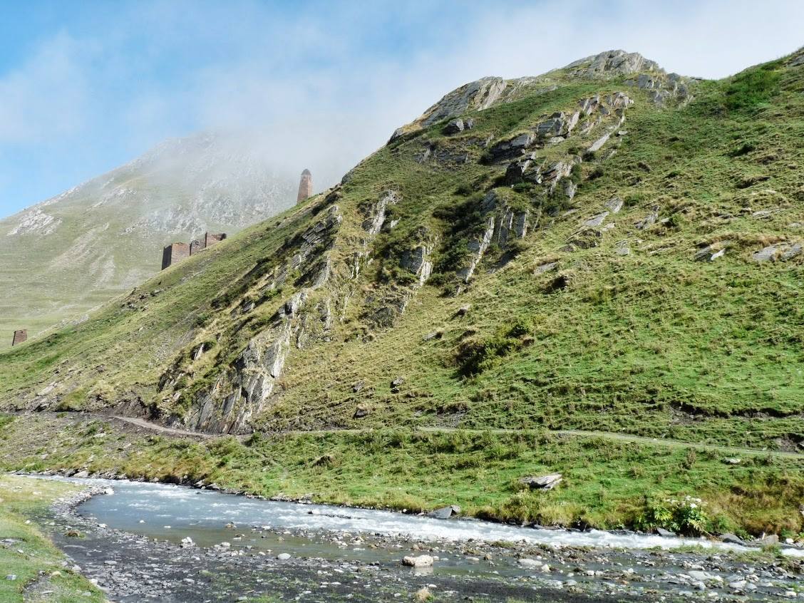
The back road goes through village Verkhovani with the highest tower (17 m). The following village is Jvarboseli with amazing sceneries of Vedziskhevi, Koklata and Alisgori.
Overnight in village Dochu guest houses.
Village Dochu - Village Omalo (Visitor Center); Distance - 12 KM.
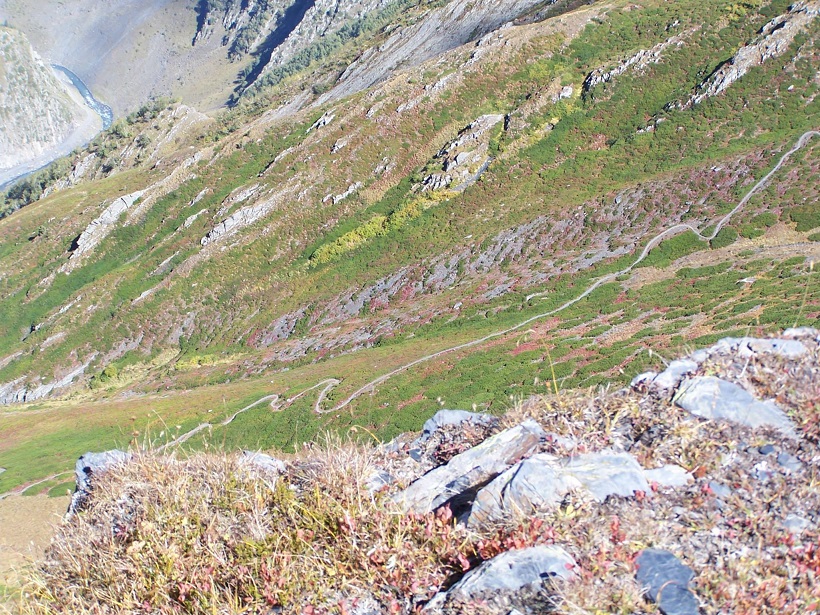
Khitani St. Giorgi church is located on Khitani field. The route goes along Gometseri valley overlooking Tushetian villages. The road slowly descends near village Bochorna in the direction to Kue-Omalo. There are lots of potable water spots along the route.
Please contact us for detail information about trail - +995 577 10 18 92
Attraction Passes
You are able to practice payable eco-tourist services at the National Parks of Georgia.
read more